
Moving cities ahead with satellite technology: HackARIADNA fosters innovation and new talent
The ARIADNA project aims to raise awareness and further market uptake of GALILEO satellite technology in urban mobility
How can we use satellite technology to advance urban mobility and help our cities become greener, safer and healthier? This was exactly the challenge of HackARIADNA, the virtual Hackathon jointly organised by Youth for Public Transport and ARIADNA. This EU project, funded by the GSA, aims to raise awareness and further market uptake of GALILEO satellite technology in mobility and public transport.
The finale of HackARIADNA took place late November, and we had the pleasure of speaking to the two winning teams: Sense4AIR and Hamba. Both teams will be invited to the Y4PT International Hack 2021, that will take place during the UITP Summit in Melbourne!
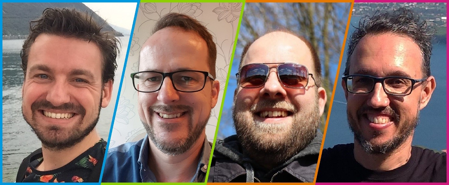
The Sense4AIR team consists of four specialists that have been working for years on the subject of air quality. From the Netherlands, we have John Heesterbeek, Marco van Nieuwenhoven, Sander Claassen, and from Italy, we have Massimo Santi.
With Sense4AIR users can avoid bad air quality ‘hotspots’
Can you tell us a bit more about Sense4AIR, and how it uses EGNSS technology?
Sense4AIR is an innovative and affordable answer to reduce exposure to air pollution while traveling. We want to utilise a “sea of sensors” by equipping with sensors different means of public transportation, such as busses, e-scooters, and e-bikes. With this, we can constantly measure air- and noise pollution over a wide area.
For our measurements we need accurate location services to distinguish, for instance, among mixed traffic lanes and bicycle tracks. Galileo satellite technology offers the most accurate location, especially in urban environments. To calibrate the sensors with each other, it is crucial to know the exact location of the sensors.
Our application enables you to avoid bad air quality ‘hotspots’ and provides you with a route that is as healthy and comfortable as possible.
Where did you get the idea for Sense4AIR?
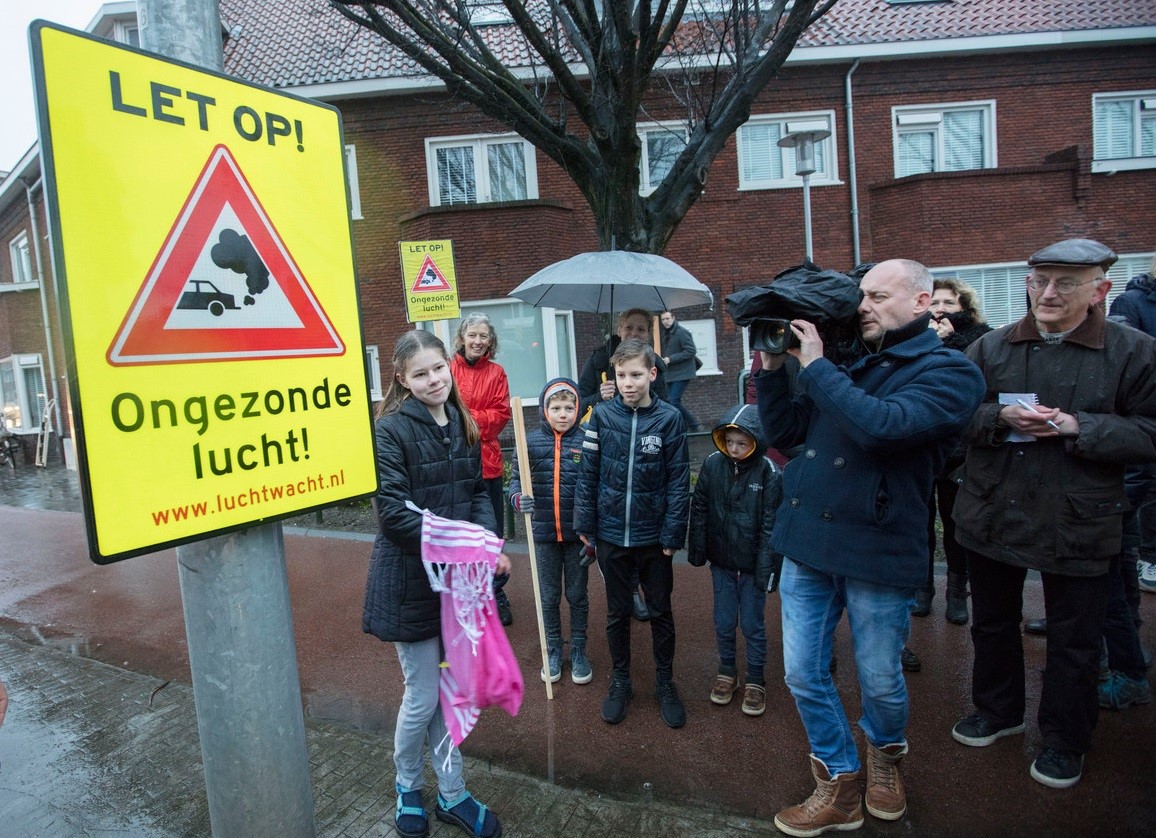
The inspiration for the project was a dedicated road sign in the city of Eindhoven, which warns of air pollution. This made us aware there is a community that is interested in having better air quality. The bad quality of air claims millions of lives each year – wouldn’t it be nice to combat this problem?
How did your participation to HackARIADNA advance Sense4AIR?
Participating in the Hackathon enabled us to make a big next step in our Sense4AIR project. Our mentors helped us overcome the challenges we were facing. In Melbourne, we hope to find partners who can help us to realise our ideas on a global scale.
Check out more about Sense4Air on https://www.sense4air.com/.
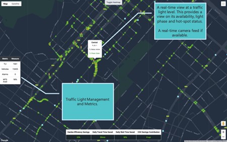
Hamba has proven to reduce traffic travel time by 27%, which has a direct result of reducing carbon emission by 26%
The second winning team, called Hamba, is based in Johannesburg (South Africa). We spoke to Kartik Mistry, the co-founder and CEO of Hamba.
Can you tell us a bit about Hamba and what got the idea started?
Hamba started with the belief that we can change the way we move through a city. The red, the green and the amber lights we have been long accustomed to in traffic lights, should not control the flow of traffic, the traffic should control the lights.
Therefore, Hamba looks at dynamically changing traffic lights, using real-time data from multiple data sources that influences the way we move (vehicle, weather, map, etc.).
This has proven to reduce traffic travel time by 27%, which has a direct result of reducing carbon emission by 26%.
How does Hamba integrate EGNSS technology?
It all begins with data and for us, Galileo (a EGNSS technology) would play a vital role as an independent, reliable, accurate data source which is the backbone of our AI (Artificial Intelligence) technology. It would ensure smart cities around the world can trust and benefit from an impartial, secure global data partner and contribute to a safer, healthier and more sustainable urban ecosystem.
What was your experience participating in the Hackathon?
HackARIADNA was an exciting opportunity to gain exposure to players that are directly involved in the industry, and receive support and feedback for our startup. Developing relationships through HackARIADNA and the participation at the UITP summit has the potential to be a game changer for our emerging business and be a powerful springboard for the technology we have developed.
Webinar: GALILEO for Green & Resilient Cities
Want to know more about how satellite technology can improve mobility services? On 11 December, ARIADNA organises the webinar ‘GALILEO for Green & Resilient Cities – Experiences from EU Mobility Players’, where participants will gain insights from the GSA and other international speakers on GALILEO satellite technology and how it can advance urban mobility. More info, and to register, via the link!
ARIADNA will be present at the UITP Taxi & Ride-hailing conference. Join the project at the session “Achieving Operational Excellence – Global best practices” on 2 December. More info here.
Related Resources
 news
news Making the most of digitalisation in public transport
- publication
Capturing Digital Value Within Public Transport
 news
news A force for the digital future: Technology pioneer and AI scientist adviser Inma Martinez is our IT-TRANS keynote speaker
 news
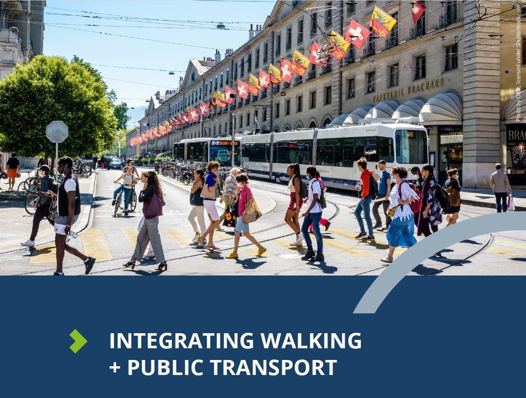
news Why walking and public transport must be integrated
 publication
 Integrating walking and public transport
 news
news 5 mobile applications enhancing the mobility experience
 publication
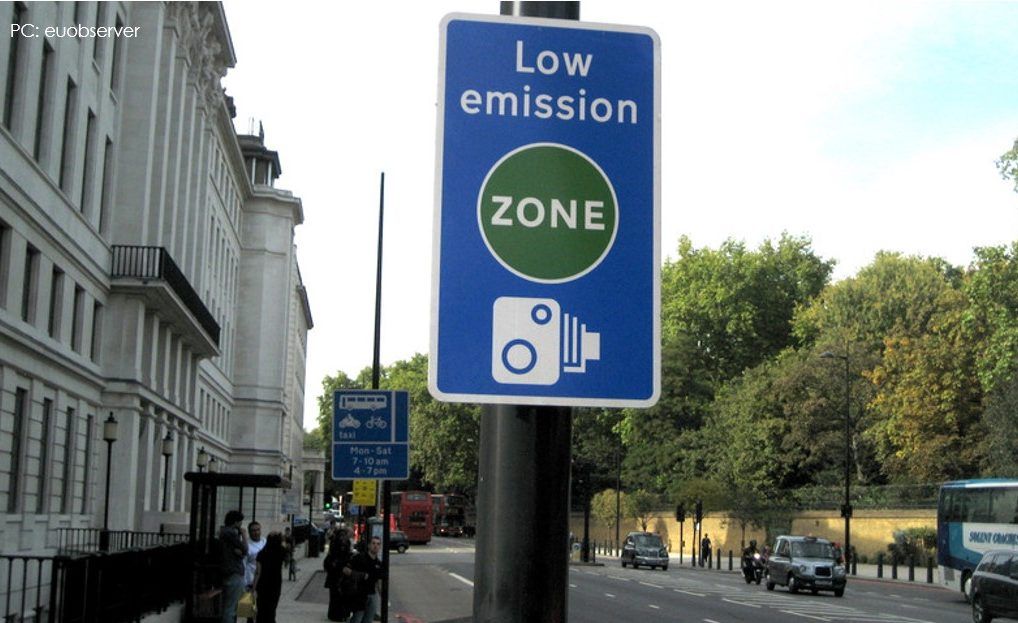
 Knowledge Brief: Low Emission Zones - Key takeaways from the early adopters
 publication
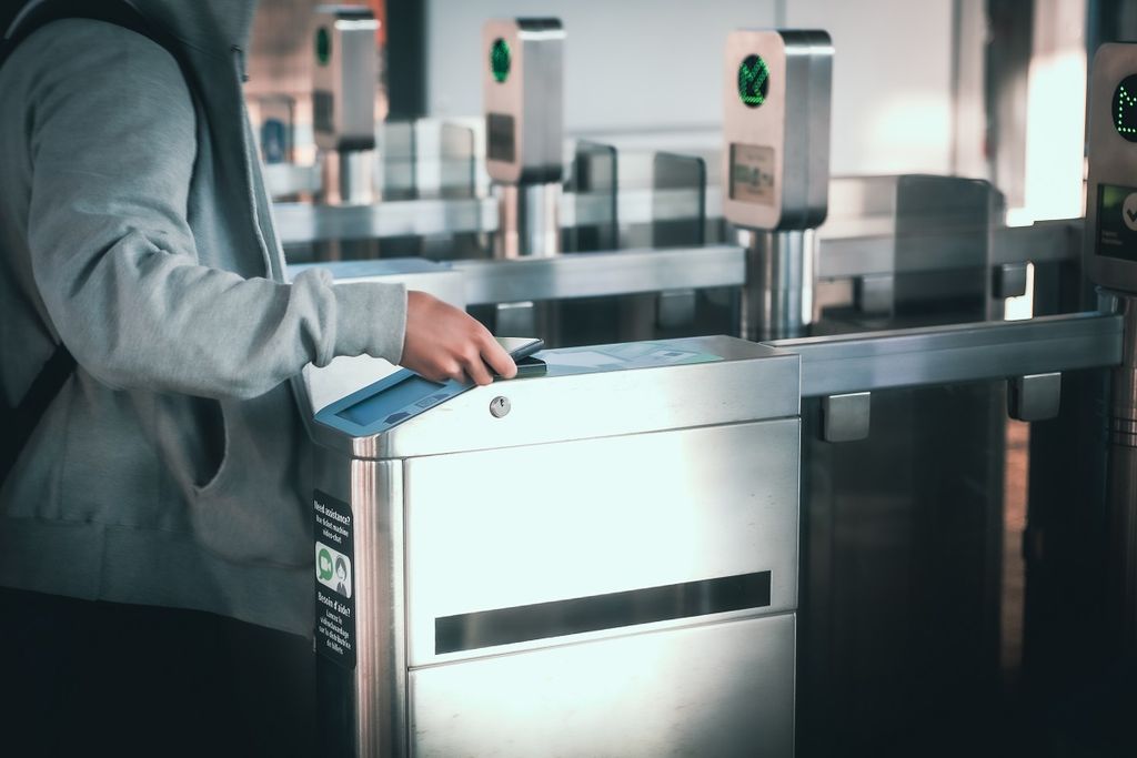
 Open-loop payment in public transport - Implementation Roadmap step 1